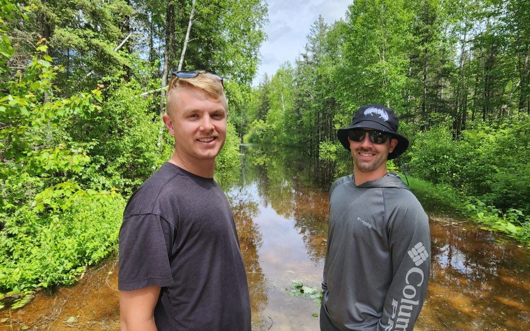

Nolan and Grant Wennerberg near the Mudro Lake Entry Point June 19. Photo by Jana Studelska
Storm Damage Leads to Multiple BWCA Entry Point Closures

By Joe Friedrichs
ELY – Nolan and Grant Wennerberg were hoping to enter the Boundary Waters Canoe Area Wilderness today (June 19) at the Mudro Lake Entry Point. The duo and three others in their group were waiting to see if the water, which was waist deep at 2 p.m., would allow passage later today. Not long after, the U.S. Forest Service closed the entry point due to flooding.
As of 3:45 p.m., the following entry points are not accessible and closed:
Trout Lake day use and overnight motor, Mudro Lake, Slim Lake, South Hegman Lake, Angleworm Lake, Angleworm Trail, Stuart River, and Big Lake.
The Forest Service says affected permit holders are being notified and will be informed of their options. These closures are subject to change and additional closures could be added due to quickly changing conditions. There was no immediate word on how long the closures would be in effect.
An email the Forest Service sent to various BWCA cooperators (outfitters) reads, “Permit holders with entry dates of June 19-22 with reservations for the entry points listed have received a closure/refund notification from Recreation.gov. The customer does not need to do anything with their reservation, the cancellation and a full refund was processed due to the temporary entry point closure.”
Numerous roads, and now entry points, leading to the Boundary Waters were closed Wednesday following a series of intense thunderstorms, strong winds, and other severe weather.
The Ely area, end of the Gunflint Trail, and a large section of the Boundary Waters Canoe Area Wilderness saw the most damage from the storm.
Despite a chaotic night that included downed trees on the Gunflint Trail, an injured 9-year-old at a campsite on Snipe Lake after a tree fell on a campsite, and all manner of severe thunderstorm activity, it was essentially business as usual on the east side of the BWCA today, from the Sawbill Trail to the end of the Arrowhead Trail.
That was not the case up the Echo Trail.
At the Mudro entry point parking lot, an unknown number of cars were stranded beyond what the Wennerberg group could see. The Forest Service told Paddle and Portage they were trying to assess the situation, requesting patience from the public, outfitters, and the people hoping to enter the BWCA.
Forest Service spokesperson Joy VanDrie said the agency did not have the staff available to meet all the challenges today following the severe weather and subsequent flooding.
“It’s a federal holiday and we’re short staffed,” she said. “Honestly, we need people to be patient as we try to get this information out.”
The five paddlers in the Wennerberg group arrived to Ely Wednesday morning. They heard there was a lot of rain, but were surprised to find the road underwater. There were no signs at the entry to the road that notified them of the flooding.
“It’s great, we thought,” said Dan Wennerberg of Big Lake, Minn. “We thought ‘It’s stopped raining! Let’s go!’”
The Echo Trail near Ely has significant washouts, with the road literally caving in on at least one section. A section of the Echo Trail is closed this morning. Many areas in Lake, St. Louis, and Cook counties saw more than 4 inches of rain come down Tuesday, with some areas receiving more than 5 inches of rain.
More rain is expected Friday and Saturday across the Boundary Waters region, including the possibility of more thunderstorms and significant rainfall.
Check back to Paddle and Portage for updates.
Minnesota journalist Jana Studelska contributed to this report.
Other Recent Articles

Minnesota DNR Considers Revisions to Lake Trout Fishing in and Around BWCA
Adam Mella and a loyal pal chasing lake trout in the BWCA on trout opener 2024. P&P file photoBOUNDARY WATERS – Ice fishing for trout will begin on certain lakes across northeastern Minnesota this week. The trout season doesn’t start for more than two weeks on...

Mining Exploration Plan Gets Green Light Near the BWCA Wilderness
Dean DeBeltz, Twin Metals VP of external affairs and project operations, with core samples in a Twin Metals core storage facility. Submitted photoBIRCH LAKE – They can keep looking for copper, nickel, and other precious metals. That was the message from the Minnesota...

Support Local News Covering the Boundary Waters Region
Paddling between borders on Crooked Lake. Photo Pam Wright for P&PBOUNDARY WATERS – We’ve covered a lot of news this year across the Boundary Waters region. Remote Area Border Crossing permits. Towboat usage in the Boundary Waters Canoe Area Wilderness. Changes to...