


Thick brush and route finding in May 2025 along a remote BWCA portage. Photo by Pam Wright
News
The Lost Portages of the Boundary Waters

By Pam Wright
Pushing through the thick brush, I’m looking for the portage. The sound of the nearby rapids drowns out everything else. I’ve been looking for nearly 40 minutes, but the trail is nowhere to be found. Where is it? It’s unusual for a portage trail that’s printed on a map to disappear in the Boundary Waters Canoe Area Wilderness. Most pathways are well-traveled, even if they are sometimes a little rough or overgrown.
Our group is on the second day of a six-day trip along a river system that snakes through pockets of tamarack bog and rocky ledges covered in lichen. I am a guide in the BWCA, and I know this area doesn’t see much in the way of traffic. At the edges stand massive white pines, white birch, and wind-worn spruce. It is nearing 80 degrees, rare for spring paddling like this in the BWCA. The ground is pungent with the scents of cedar, juniper, and dried needles. I pause in the sun, grab a snack, and look over the map.
To continue reading, login below or sign up here.
Other Recent Articles

RABC Permits Permanently Expire This Month: Here’s What Comes Next
A sign at the U.S.-Canada border near the end of the Gunflint Trail. P&P file photo BOUNDARY WATERS – The Remote Area Border Crossing Program ends Nov. 30. Permits under the program will be replaced by telephone reporting to cross from Minnesota into Canada on...

The End of the World’s Largest Paddling Expo: No More Canoecopia
Canoecopia in its prime. File photo MADISON – There will be no Canoecopia in 2027. The world’s largest paddling expo, as it was dubbed, is no more. Canoecopia had a great run. The annual expo served as the gathering grounds for the paddling community each spring in...
DNR Asks Anglers When Ice Fishing Season for Trout Should Start Near the Boundary Waters
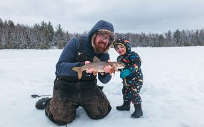
Adam Mella and his loyal pal chasing lake trout in the BWCA during a recent trout opener. P&P file photo BOUNDARY WATERS – Anglers during the winter months could have more time to target lake trout in the years ahead. The Minnesota Department of Natural Resources...