
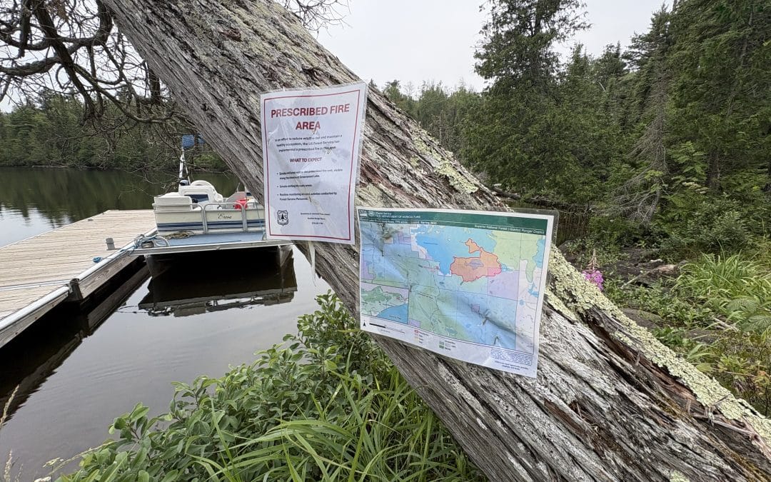

A sign posted by the Forest Service at the Greenwood Lake public landing showing a map of prescribed fire activity in 2026. Photo by Joe Friedrichs
Cabin Owners, Forest Service Split on Benefits and Timing of Prescribed Fire Near the BWCA

By Joe Friedrichs
The first wildfire of the year near the Boundary Waters started May 15 near Betty’s Pies and Highway 61, not far from Two Harbors.
The Stewart Trail Fire, as it became known, was sparked by a downed power line amid windy, dry conditions. The fire quickly spread across more than 350 acres and shut down Highway 61 to all traffic for four days. The fire burned more than 30 buildings, including eight homes or cabins.
After driving past the burn area two weeks later, Wisconsin resident Steven Wodarz noted the devastation along Highway 61. About two hours later, he was perplexed to discover the U.S. Forest Service was managing a prescribed fire in the woods near his cabin on Greenwood Lake, located about 20 miles from Grand Marais.
“We couldn’t believe they were in there lighting a fire given the conditions we saw coming up the North Shore,” Wodarz said in August, more than two months after the Forest Service started the fire near Greenwood.
This fire, officially known as the Sunfish Lake Prescribed Burn, continues to smoke and smolder in mid-August, according to observations by this reporter, numerous property owners on Greenwood Lake, and officials from the U.S. Forest Service.
“There is still some smoldering within the prescribed planning area,” said Kyle Stover, the Gunflint District ranger for Superior National Forest.
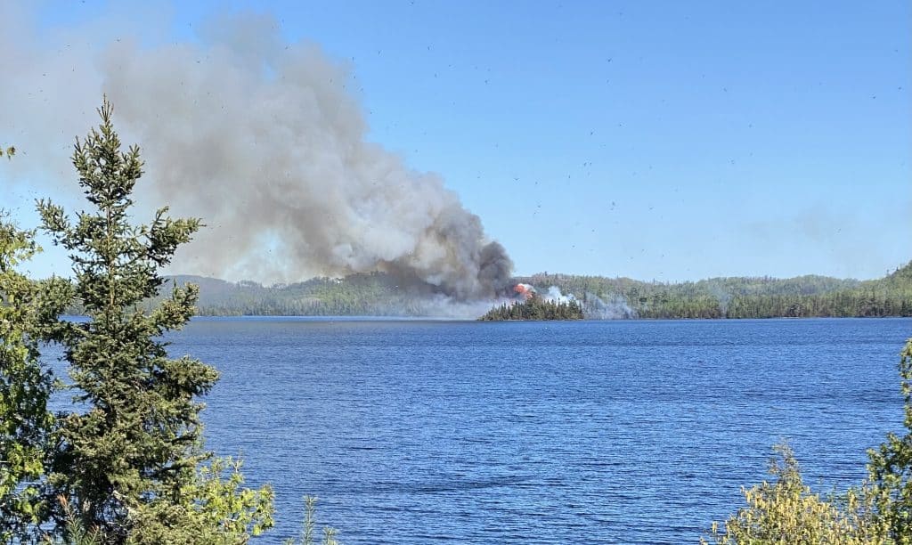
The prescribed burn near Greenwood Lake in late May 2026. Photo courtesy of Lloyd Speck
Stover spoke with Paddle & Portage media Aug. 12 up the Gunflint Trail to share an update on the Sunfish prescribed burn, which encompasses the small lake the project is named after, and a section of the south shoreline of Greenwood, including a peninsula and land that abuts private property. The project called for burning 775 acres of forest near the lakes. The purpose of the prescribed burn was to reduce hazardous fuels, including dead or dying balsam trees, while enhancing habitat for moose. Aircraft dropped ping-pong style balls on the fire that contained an accelerant to start the fire in late May.
Despite concern from numerous property owners near Greenwood, along with a collection of other Cook County residents who feel the prescribed fire was not managed properly or at the very least went awry from the original plan, Stover maintains that nothing unusual occurred with the project. Stover provided a map to Paddle & Portage that he says was shared with all the property owners near Greenwood Lake before the prescribed burn started in May. This map has been available on the Superior National Forest website for many years, as the original design for the project dates back to 2017, Stover said. Paddle & Portage was able to confirm this by looking back at the original project database, which is listed under something known as the “ShokoShoe Vegetation Management Project.” In addition to maps that identify the burn area near Greenwood this summer, the project also involved clearcutting sections of the Superior National Forest, prescribed burns near private property on Hungry Jack Lake, along with thinning and burning near other popular locations in the Middle Gunflint area. An example of this would be the work that was done near East Bearskin, Stover said.
Lloyd Speck is a lifelong Cook County resident. He owns a cabin on Greenwood, though he said this month he’s planning to put it up for sale due to, at least in part, the prescribed fire that took place near the lake this spring and summer. Speck questioned why the Forest Service is allowed to burn down the shoreline of the lake, particularly when cabin owners face such strict regulations from the government in terms of shoreline setbacks. Speck also said the smoke from the fire negatively impacted all of the cabin owners at Greenwood Lake this summer.
“There were days the smoke was so heavy from this prescribed fire you couldn’t see to the other side of the lake,” Speck said. “I’ve never seen that before in all my years up here.”
Speck said it’s not right that the property owners, who pay high taxes for their properties on the lake, had to essentially lose a summer due to the thick smoke from the prescribed fire. He’s also worried about long-term impacts to the fishery on the lake as a result of all the charred trees that now sit on the lakeshore, particularly on the long peninsula jutting out in the lake’s southeast corner.
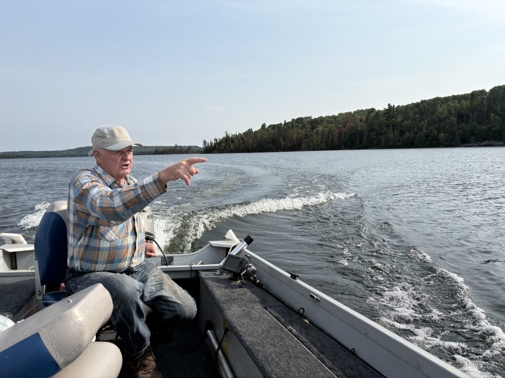
Lloyd Speck navigates Greenwood Lake. Photo by Joe Friedrichs
Stover said he understands why cabin owners are frustrated and concerned about having the fire near the shoreline. He said it’s also reasonable that property owners and others would be upset with the duration of the fire, which has now been burning for several months. Nonetheless, Stover said the fire has stayed within the prescribed burn area in the original design plan, and there’s nothing happening with the fire beyond what was presented to the public, including information that dates back nearly a decade.
Wodarz, meanwhile, believes he saw a map posted near the lakeshore the weekend he arrived in May that is different than the maps that are available to the public. He told Paddle & Portage that he believes he saw a map with a much smaller footprint posted on a temporary kiosk of sorts and spoke to a Forest Service employee during that week, who downplayed the impact the prescribed fire would have. Wodarz did not take a photo or ask for a copy of the version of the map he claims he saw. No other maps were shown to Paddle & Portage media by either the Forest Service or a property owner on Greenwood other than the one which was shared with property owners at the lake, is displayed at the public boat landing, and which has been available for public viewing for nearly ten years. Nonetheless, Wodarz said his concerns are beyond what he saw on any map. His biggest issue is with the conditions of the forest in the leadup to the prescribed burn.
“The one thing that seems so obvious here is that it was too dry when (the Forest Service) started this fire, and there’s no way it should have lasted this long,” Wodarz said earlier this month.
Stover said crews continue to monitor the Sunfish Lake prescribed burn and will continue to do so until it is out. The video below is an interview with Joe Friedrichs from Paddle & Portage media and Stover from Aug. 12 up the Gunflint Trail.
Other Recent Articles

Forest Service Prepares for Significant Announcements on BWCA Policy & Usage
BWCA Wilderness entry point sign. Photo by Joe Friedrichs The U.S. Forest Service continues to consider changes to a trio of policies that would impact people and businesses that interact with the Boundary Waters Canoe Area Wilderness. Of the potential changes, this...

Missing Hiker Found Alive & Alert at Isle Royale National Park
Isle Royale National Park. P&P file photo A hiker missing at Isle Royale National Park for a week has been found on the remote Lake Superior island. Craig Berg, 70, has been found alive and alert, the National Park Service announced Sept. 12. Berg, missing since...
A Tour of Areas Burned in 2026 BWCA Wildfires
The Sioux River North Entry Point in September 2026. Photo by Joe Friedrichs The fires that shut down the Boundary Waters Canoe Area Wilderness this summer made national news. Paddle & Portage media was invited Sept. 9, along with other members of the press, to...